Modeling Subsurface Petroleum Hydrocarbon Transport
| Module Home Objectives Table of Contents Previous < Next > |
| 25 of 36 |

Why is this relevant?
Note also the direction of ground water flow marked on the map. Is this known exactly for a site? Does the direction of the gradient ever change?
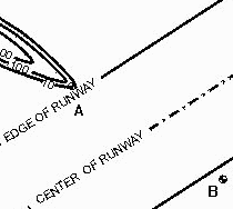
When the direction of the gradient changes at this site, ground water flow might not go directly from the well at the presumed toe of the plume, underneath the runway, and end up at the monitoring well that shows no contamination.
Since the direction of ground water flow changes seasonally at most sites, there is little certainty that the contaminants move directly from one side of the runway to the well located at the other side. This plume is not nearly as well defined as this contour plot appears.
Home | Glossary | Notation | Links | References | Calculators |

