STORET Gulf Spill Data Warehouse
Data refreshed as of April 21, 2010Query Options: NEW!
STORET Warehouse Watershed SummaryTo know the HUC codes of your area, use this widget: |
|
 |
STORET Station
Descriptions STORET Results (Physical/Chemical, Biological and Habitat Result Data) |
What's New with the STORET Data Warehouse?
This page offers information about the recent changes made to STORET Warehouse.
How to Query and Download Data
This exercise gives step by step instructions on how to generate, download,
export (to Microsoft Excel or Access), and analyze a data query from the
STORET Data Warehouse as well as the new Watershed Summary.
Make a Map
Create a map of monitoring locations from STORET using either
EnviroMapper for Water or Window to My Enviroment.
Data Logger Results
Download a delimited text file of results reported to STORET from Automated Data Loggers.
These results, which cannot yet be downloaded via the query options at the left, will be
in the form of a self-extracting compressed file (450K) which may be saved on disk and will
expand when executed. In its uncompressed form, this file requires 14.8 MB of disk space.
Data Quality Documentation
Select from among available reports which document the standards, methods,
practices, and other metadata supplied by data owners to document the quality
of the monitoring results found in the National STORET Data Warehouse.
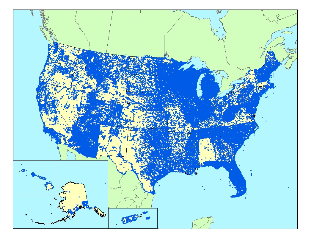
Stations registered in STORET
(Click anywhere on the map to see it enlarged)
please call STORET User Assistance at 1-800-424-9067,
or send us an email at STORET@epa.gov.
| You will need Adobe Acrobat Reader to view the Adobe PDF files on this page. See EPA's PDF page for more information about getting and using the free Acrobat Reader. |
![[logo] US EPA](http://www.epa.gov/epafiles/images/logo_epaseal.gif)
