Wildfires can emit large quanties of smoke and degrade public air quality for many days or weeks. Children, the elderly, and people with underlying health issues are especially vulnerable to smoke, but most members of the public are at least somewhat concerned about possible impacts to themselves, family members, friends, and even pets.
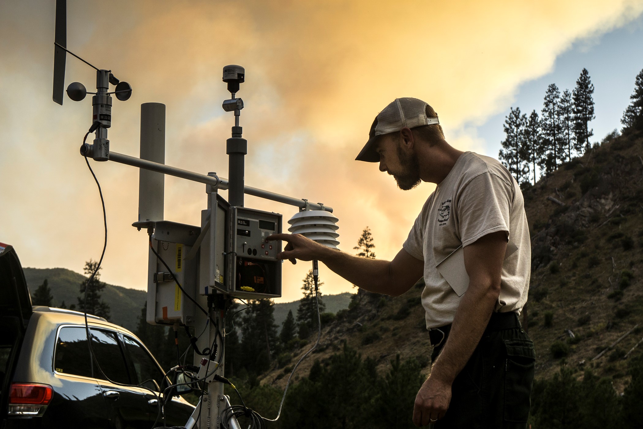
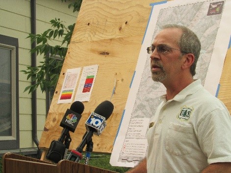
The USDA Forest Service, along with other partner agencies such as the National Park Service and EPA, has led the development of a proactive program of specially trained personnel who can be assigned to wildfire incident management teams for the purpose of analyzing, summarizing, and communicating air quality impacts from smoke and how to protect yourself. These specialists (Air Resource Advisors or ARAs) deploy air quality monitors to remote communities, run complex meteorological and smoke dispersion models, predict air quality impacts, and communicate those impacts to the public and others who need the information. The overall effort is called the Wildland Fire Air Quality Response Program (WFAQRP) with information found at www.wildlandfiresmoke.net.
In general, during wildfire smoke episodes, the WFAQRP helps communities by: Monitoring air quality, Modeling smoke dispersion and impacts, and Messaging about predicted conditions and actions the public can take to protect themselves and their families.
The most significant component of wildfire smoke is fine particulate matter because it is small enough to be inhaled deep into human lungs. ARAs rely on EPA’s Air Quality Index (AQI) for fine particulate matter (airnow.gov/index.cfm?action=aqibasics.aqi) as the basis for their public health impact communication and recommendations for public actions to reduce exposure. The AQI provides a consistent means for communicating air quality conditions to the public no matter the source of the fine particulate.
Using the AQI ensures that the information ARAs provide the public about steps to protect themselves during episodes of wildfire smoke is consistent with EPA’s information, which is based on national air quality standards and science on particulate matter and health. Messaging from ARAs is coordinated between state air regulatory agencies, health departments, local government(s), and tribes.
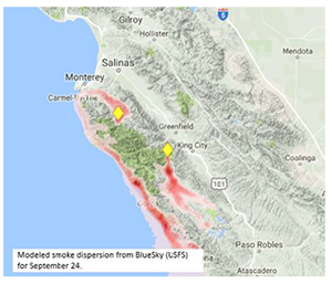
Below is an example air quality outlook for predicted smoke impacts from a wildfire in Oregon during 2017 linked to the air quality health advisory categories and color coding used by the Air Quality Index.
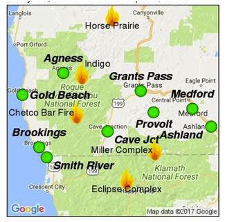
The map shows the Air Quality Index (AQI) at each of nine monitors in southern Oregon, on September 27, 2017, is forecast to be Green or Good. The Outlook for the Chetco Bar Fire & Miller Complex says Smoke: Smoke will remain isolated to areas that still contain heat on various fires. Remaining smoke will flow down drainage at night, and then pool before daytime winds prevail and push the smoke out. Most communities will not see any smoke in the next few days, but those that do will experience it worse in the morning hours. Fire: Warmer temperatures are aiding the remaining fire behavior. Most areas that are still active are dead trees, logs, and some deep duff layer. Other: An incoming weather system towards this weekend should clear the air-shed of smoke and reduce the remaining active hotspots burning in the interior of the various fires. Smoke should reduce greatly after this weekend and continue to reduce each day afterwards. ***This will be the last smoke forecast for Southwest Oregon unless conditions dramatically change.