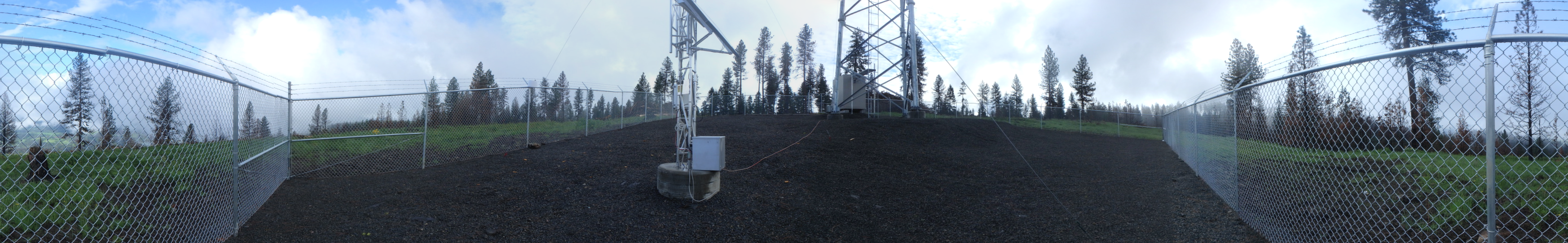
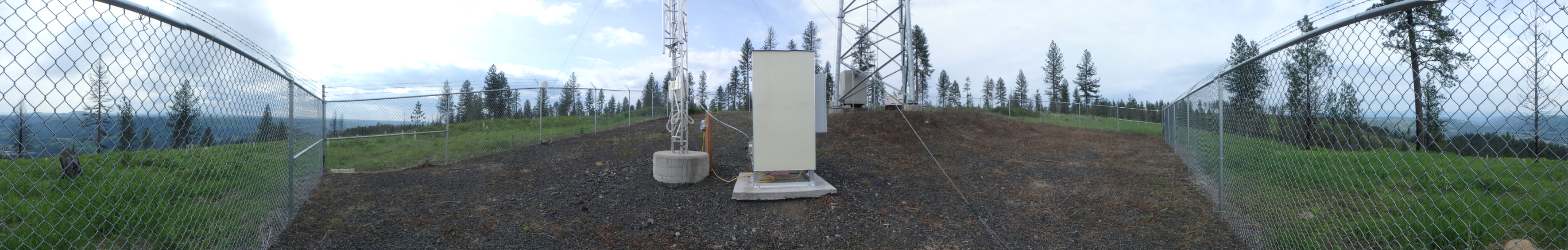
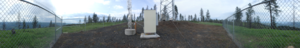
| Site Photos |

|
|
| Site Information |
| Site ID |
NPT006 |
| Site name |
Nez Perce Tribe |
| County |
Idaho |
| State abbreviation |
ID |
| AQS ID |
160499991 |
| Latitude; decimal degrees |
46.2756 |
| Longitude; decimal degrees |
-116.0216 |
| Elevation; m |
945 |
| Operating agency |
EPA |
| Start date |
12/15/2015 |
| Primary Land Use |
Forest |
| Terrain surrounding site |
Rolling |
| NADP/NTN site ID |
WA24 |
| Distance to nearest NTN site; km |
104.271 |
| Co-located NADP/AMoN Site ID |
ID07 |
| View Map |
View Map |
|
| Graphical Results |
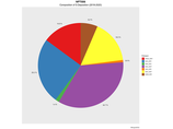
| Composition of total nitrogen deposition by species |
 |
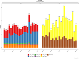
| Trends in total nitrogen deposition |
 |
| Trends in wet and dry nitrogen deposition |
 |
| Composition of total sulfur deposition by species |
 |
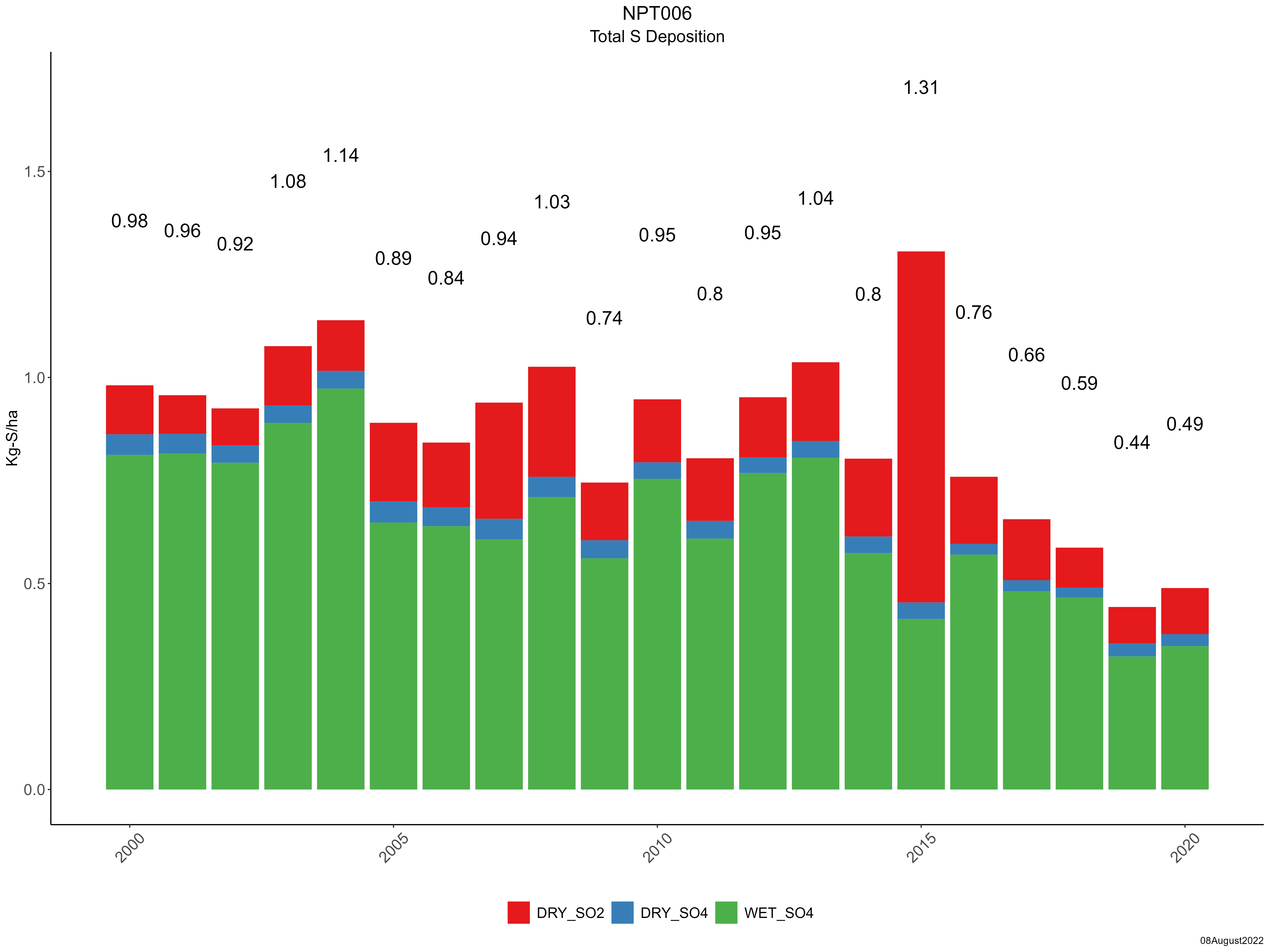
| Trends in total sulfur deposition |
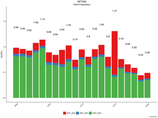 |
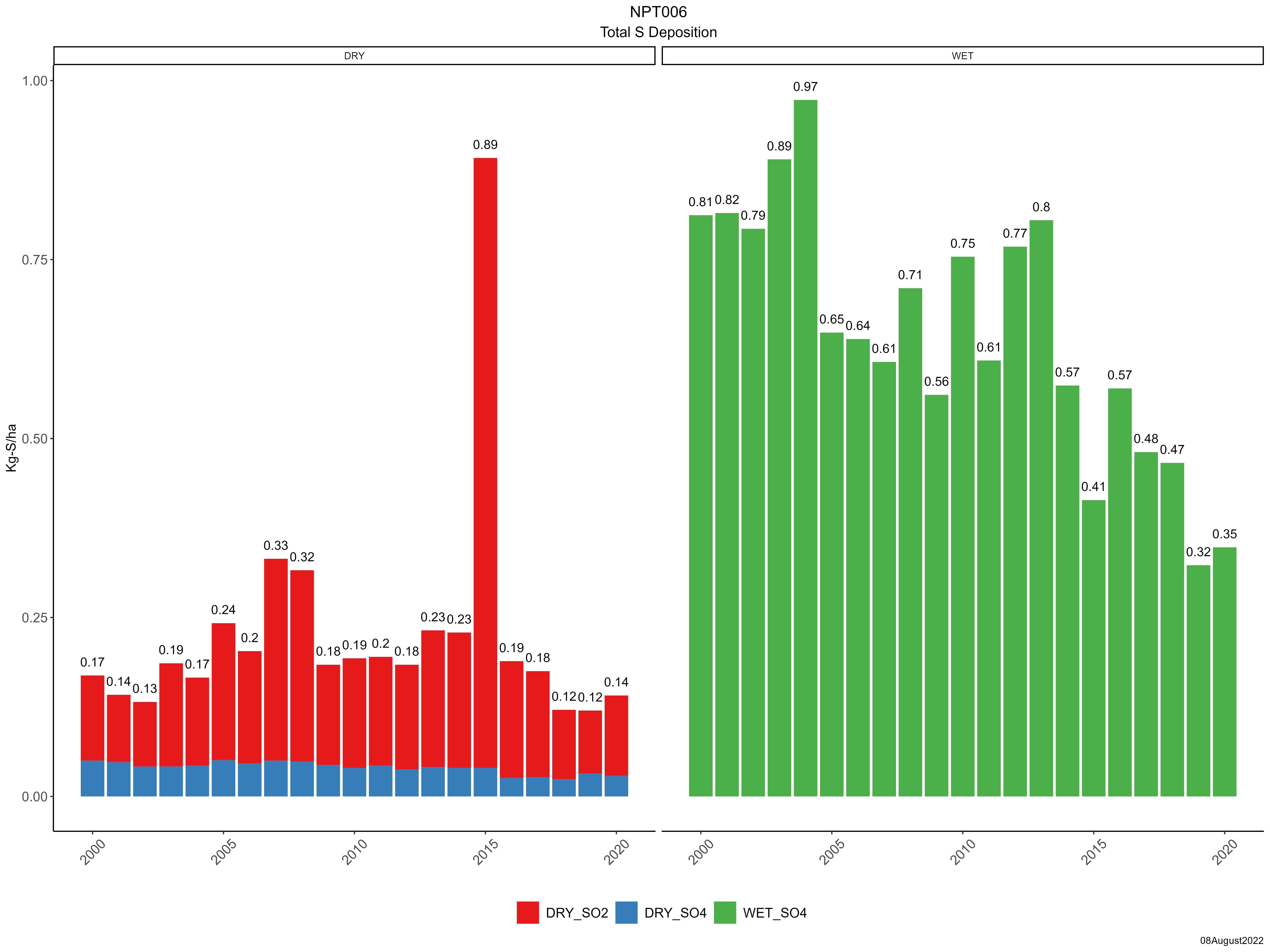
| Trends in wet and dry sulfur deposition |
 |
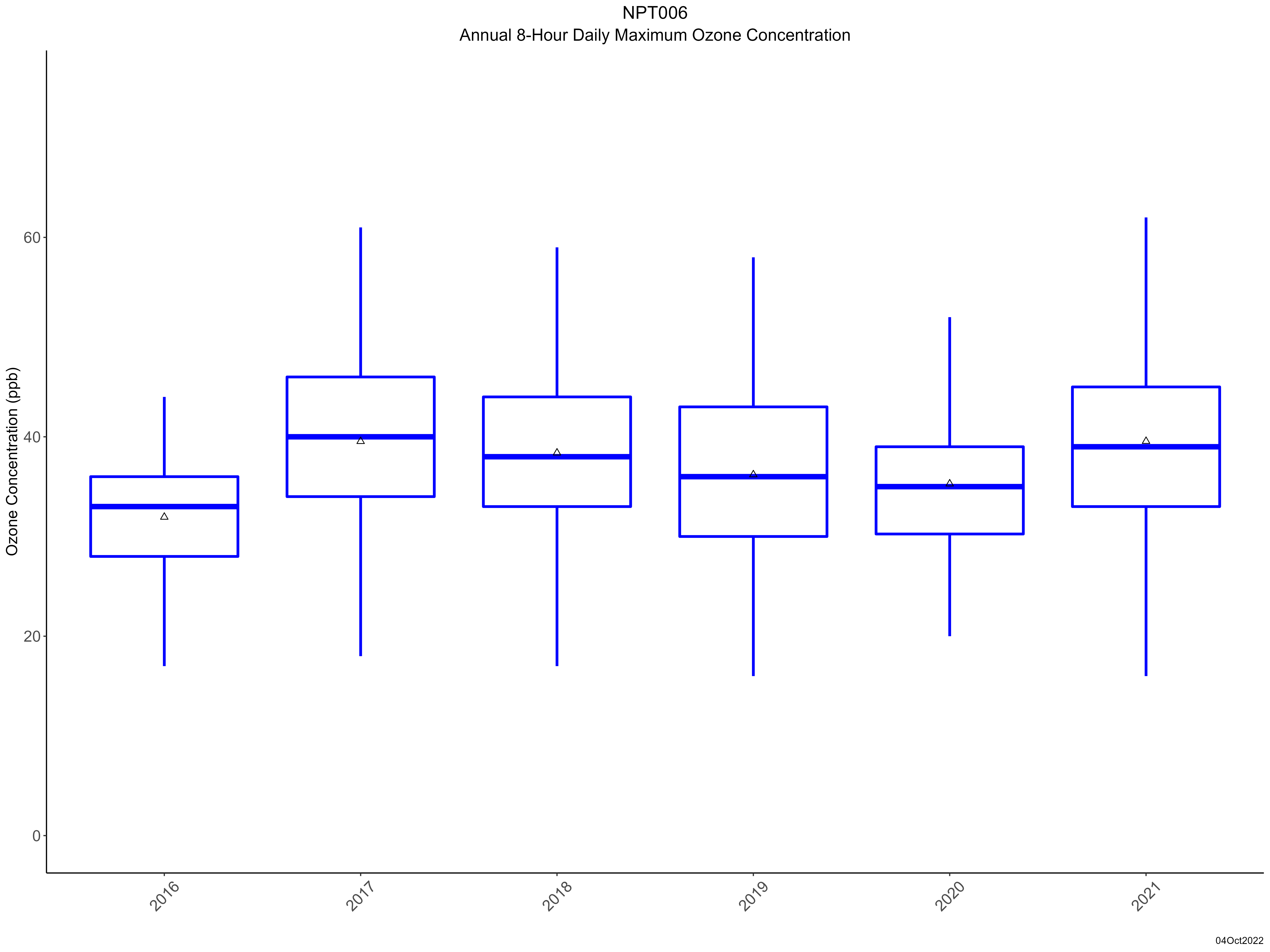
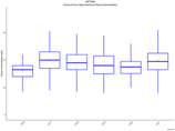
| Trend in maximum 8-hour average ozone concentrations |
 |
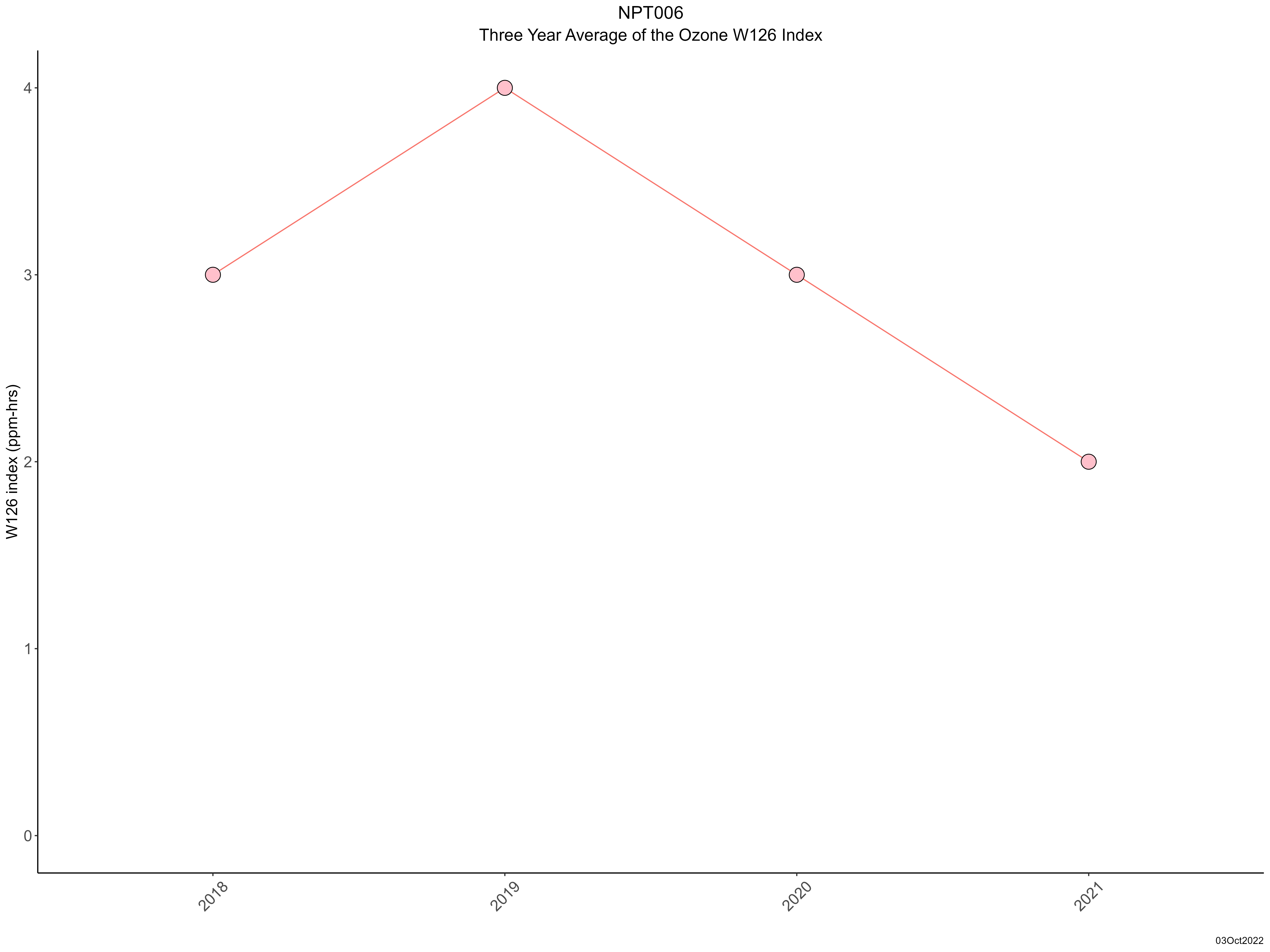
| Trend in 3-year average of ozone W126 index |
 |
|