| Site Photos |
| Site photos not available |
| Site Information |
| Site ID |
LYE145 |
| Site name |
Lye Brook |
| County |
Bennington |
| State abbreviation |
VT |
| Latitude; decimal degrees |
43.050884 |
| Longitude; decimal degrees |
-73.061334 |
| Elevation; m |
725 |
| Operating agency |
EPA |
| Start date |
10/23/1993 |
| End date |
03/31/2007 |
| Primary Land Use |
Forest |
| Terrain surrounding site |
Mountaintop |
| NADP/NTN site ID |
VT01 |
| Distance to nearest NTN site; km |
21.124 |
| View Map |
View Map |
|
| Graphical Results |
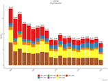
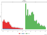
| Composition of total nitrogen deposition by species |
 |
| Trends in total nitrogen deposition |
 |
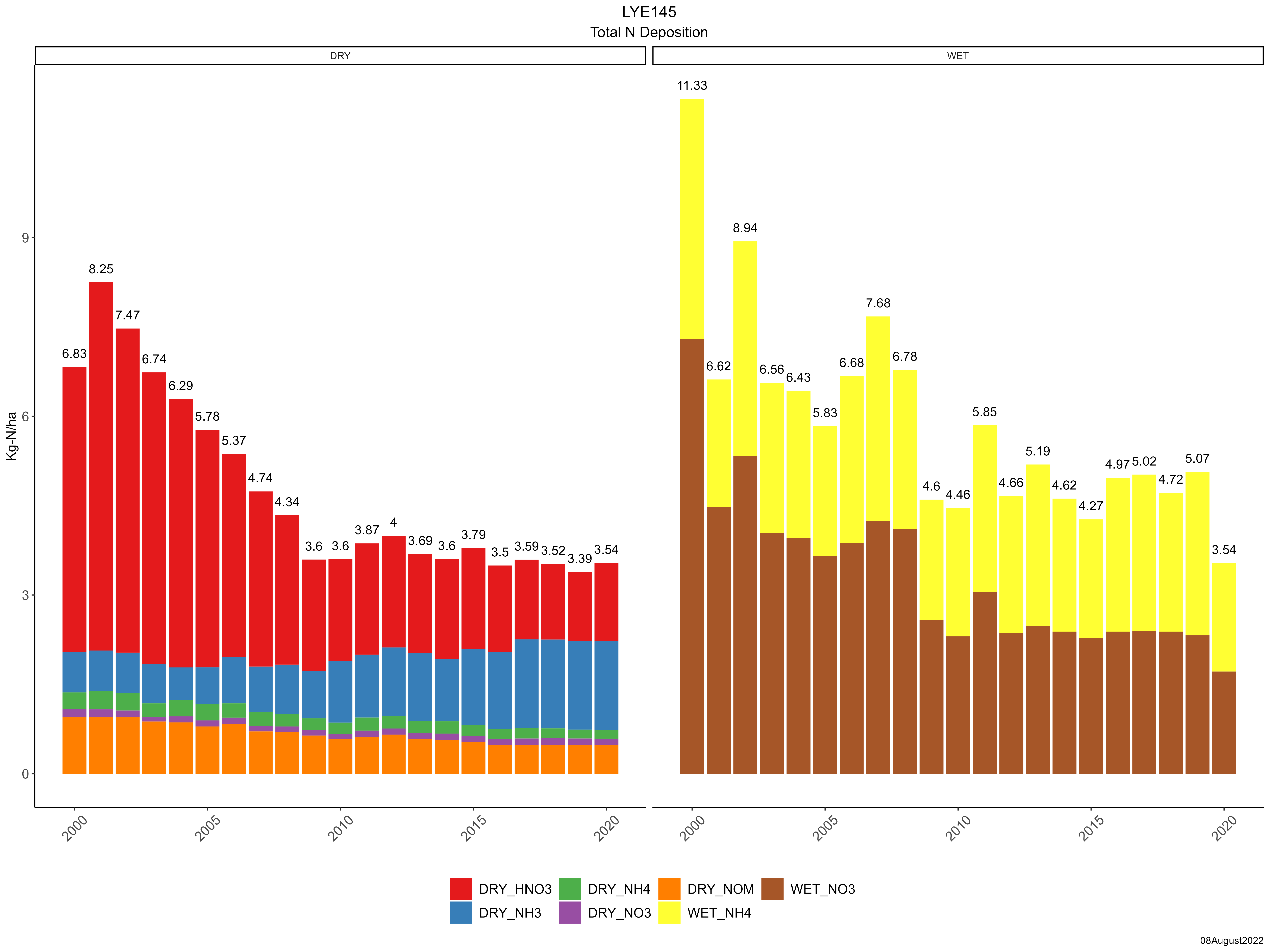
| Trends in wet and dry nitrogen deposition |
 |
| Composition of total sulfur deposition by species |
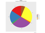 |
| Trends in total sulfur deposition |
 |
| Trends in wet and dry sulfur deposition |
 |
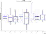
| Trend in maximum 8-hour average ozone concentrations |
 |
|