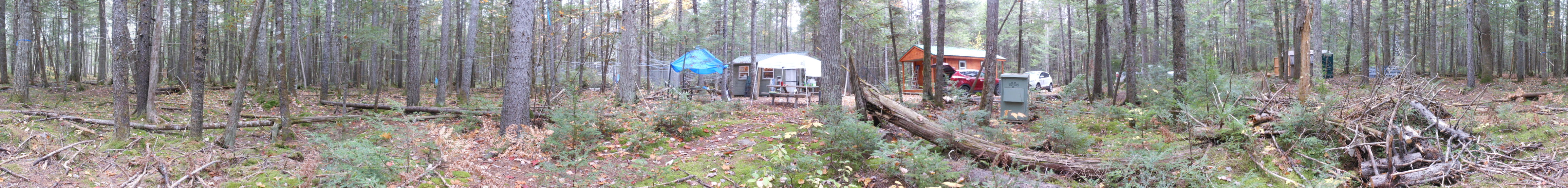
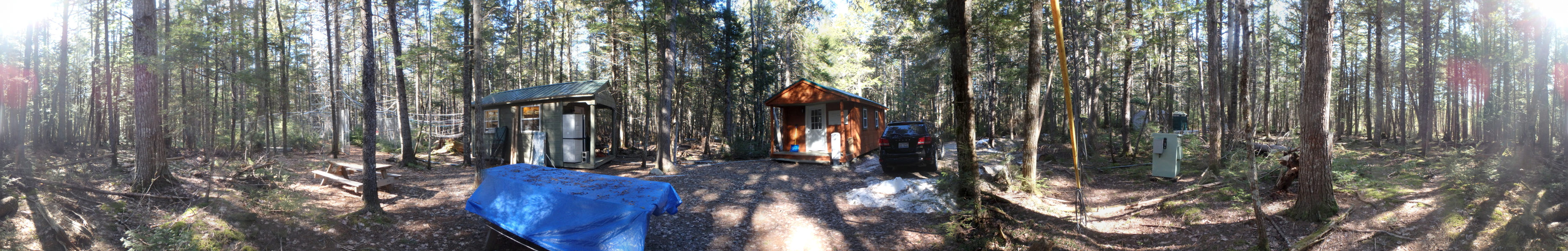
| Site Information |
| Site ID |
HOW191 |
| Site name |
Howland Ameriflux |
| County |
Penobscot |
| State abbreviation |
ME |
| Latitude; decimal degrees |
45.203963 |
| Longitude; decimal degrees |
-68.740041 |
| Elevation; m |
68 |
| Operating agency |
EPA |
| Start date |
09/16/2011 |
| End date |
03/31/2019 |
| Primary Land Use |
Forest |
| Terrain surrounding site |
Rolling |
| NADP/NTN site ID |
ME09 |
| Distance to nearest NTN site; km |
79.091 |
| View Map |
View Map |
|
| Graphical Results |
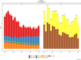
| Composition of total nitrogen deposition by species |
 |
| Trends in total nitrogen deposition |
 |
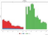
| Trends in wet and dry nitrogen deposition |
 |
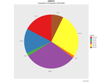
| Composition of total sulfur deposition by species |
 |
| Trends in total sulfur deposition |
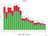 |
| Trends in wet and dry sulfur deposition |
 |
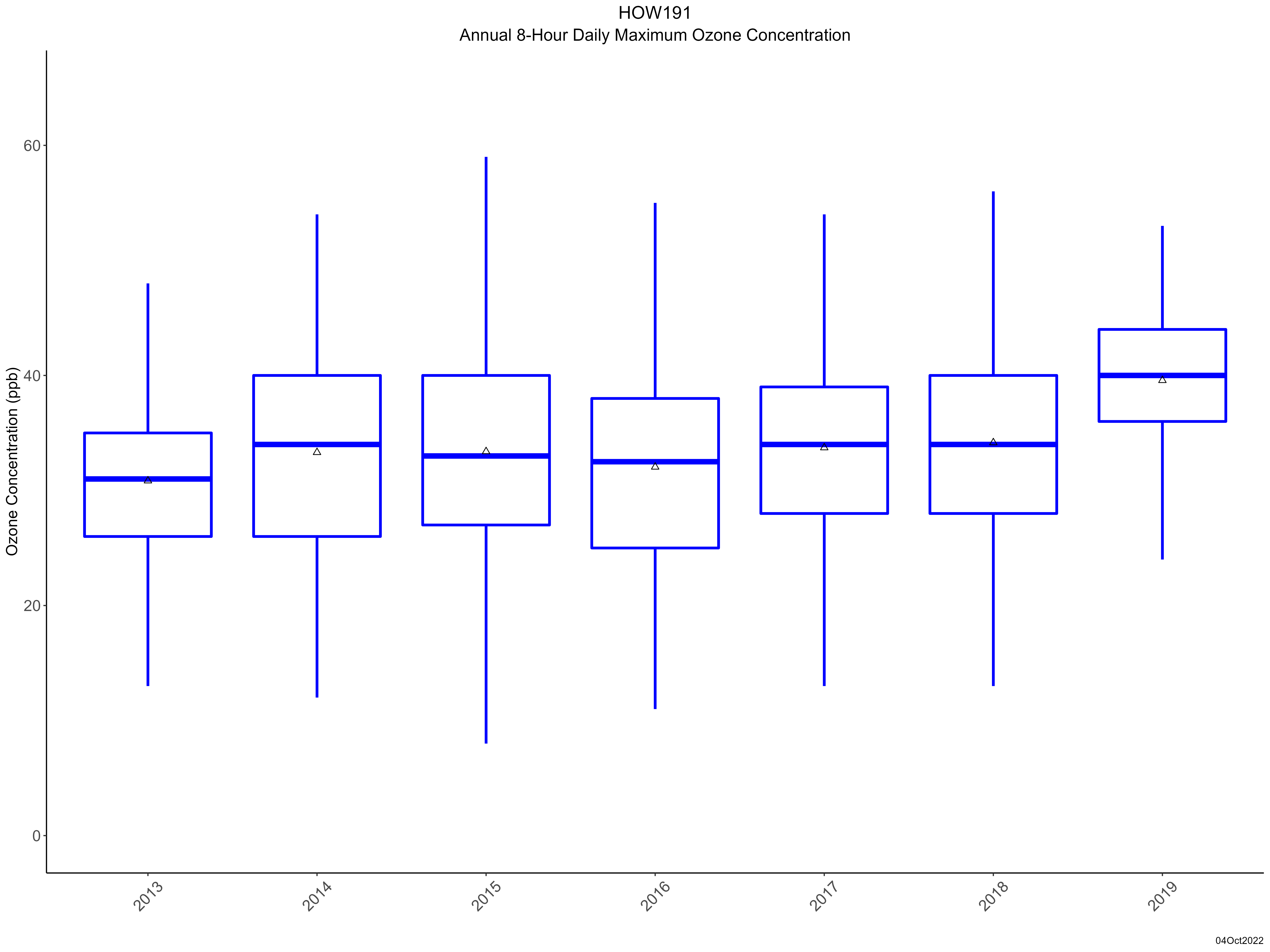
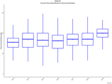
| Trend in maximum 8-hour average ozone concentrations |
 |
|
|
|
| Site History |
| OZONE : ZSP order changed to SPZ. |
29-APR-14 |
| OZONE : New certification range for site transfer standard |
29-APR-14 |
| OZONE : Knock-out bottle removed. |
29-APR-14 |
| OZONE : Foam insulation added to sample line. |
29-APR-14 |