| Site Photos |
| Site photos not available |
| Site Information |
| Site ID |
GAS253 |
| Site name |
Georgia Station Collocated |
| County |
Pike |
| State abbreviation |
GA |
| Latitude; decimal degrees |
33.181173 |
| Longitude; decimal degrees |
-84.410054 |
| Elevation; m |
265 |
| Operating agency |
EPA |
| Start date |
01/09/1989 |
| End date |
10/11/1990 |
| Primary Land Use |
Agric |
| Terrain surrounding site |
Rolling |
| NADP/NTN site ID |
GA41 |
| Distance to nearest NTN site; km |
.078 |
| View Map |
View Map |
|
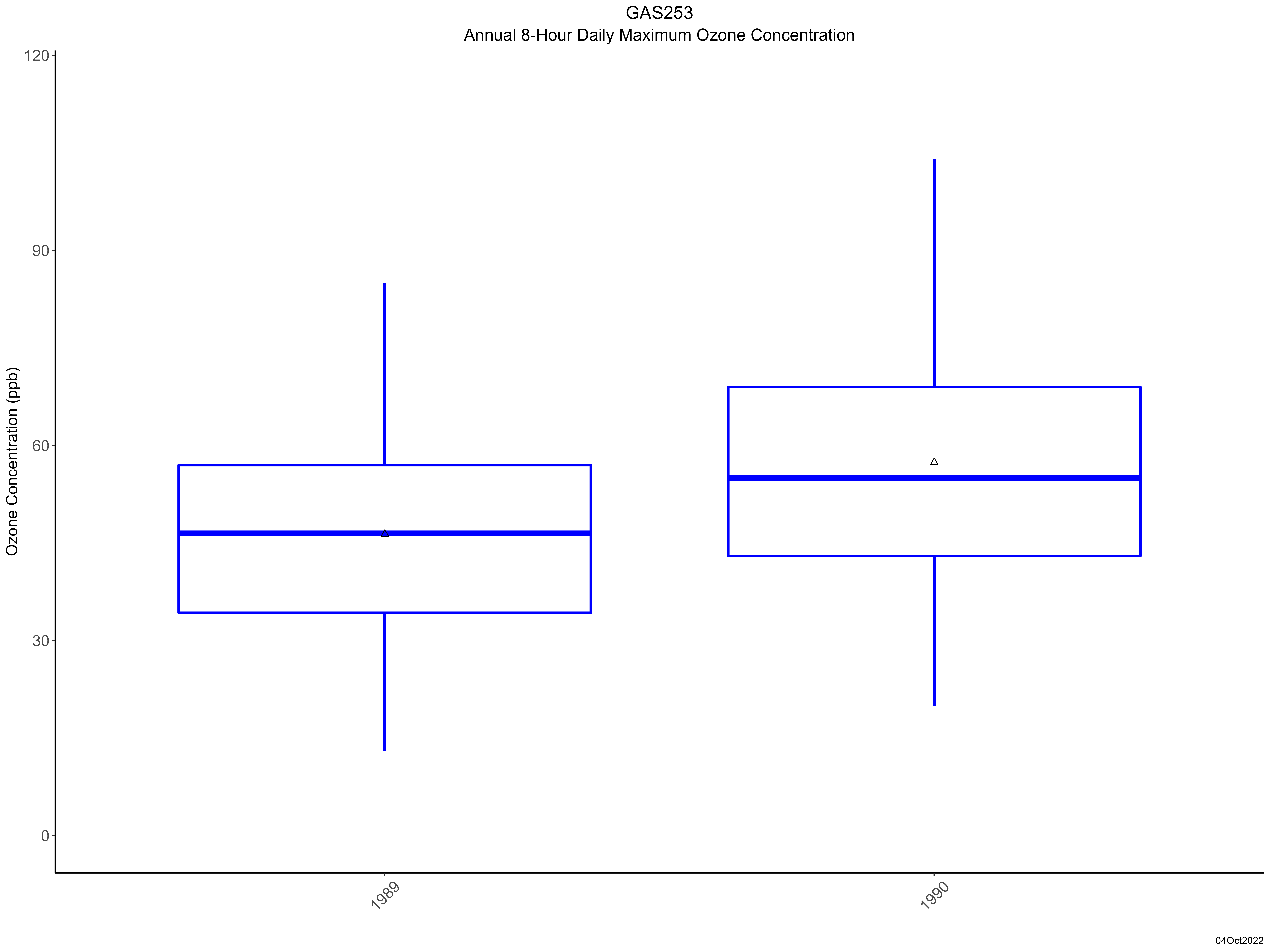
| Graphical Results |
| Trend in maximum 8-hour average ozone concentrations |
 |
|