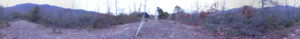
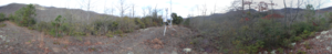
| Site Photos |
|
|
| Site Information |
| Site ID |
COW005 |
| Site name |
Coweeta Screwdriver Knob |
| County |
Macon |
| State abbreviation |
NC |
| Latitude; decimal degrees |
35.04826 |
| Longitude; decimal degrees |
-83.45428 |
| Elevation; m |
960 |
| Operating agency |
EPA |
| Start date |
11/18/2014 |
| End date |
08/16/2016 |
| Primary Land Use |
Forest |
| Terrain surrounding site |
Complex |
| NADP/NTN site ID |
NC25 |
| Distance to nearest NTN site; km |
2.559 |
| View Map |
View Map |
|
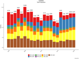
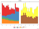
| Graphical Results |
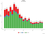
| Composition of total nitrogen deposition by species |
 |
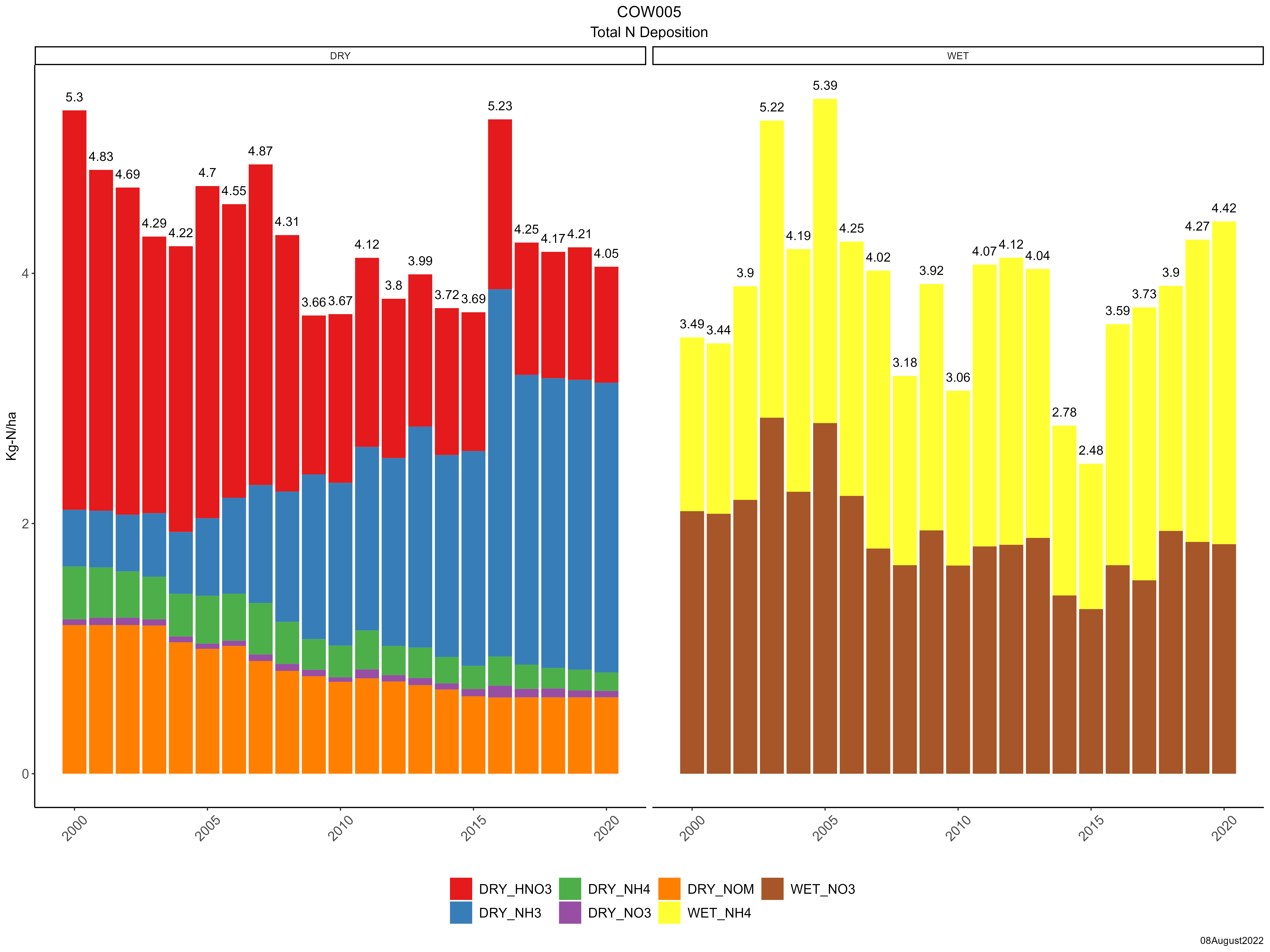
| Trends in total nitrogen deposition |
 |
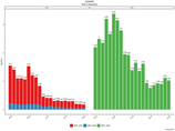
| Trends in wet and dry nitrogen deposition |
 |
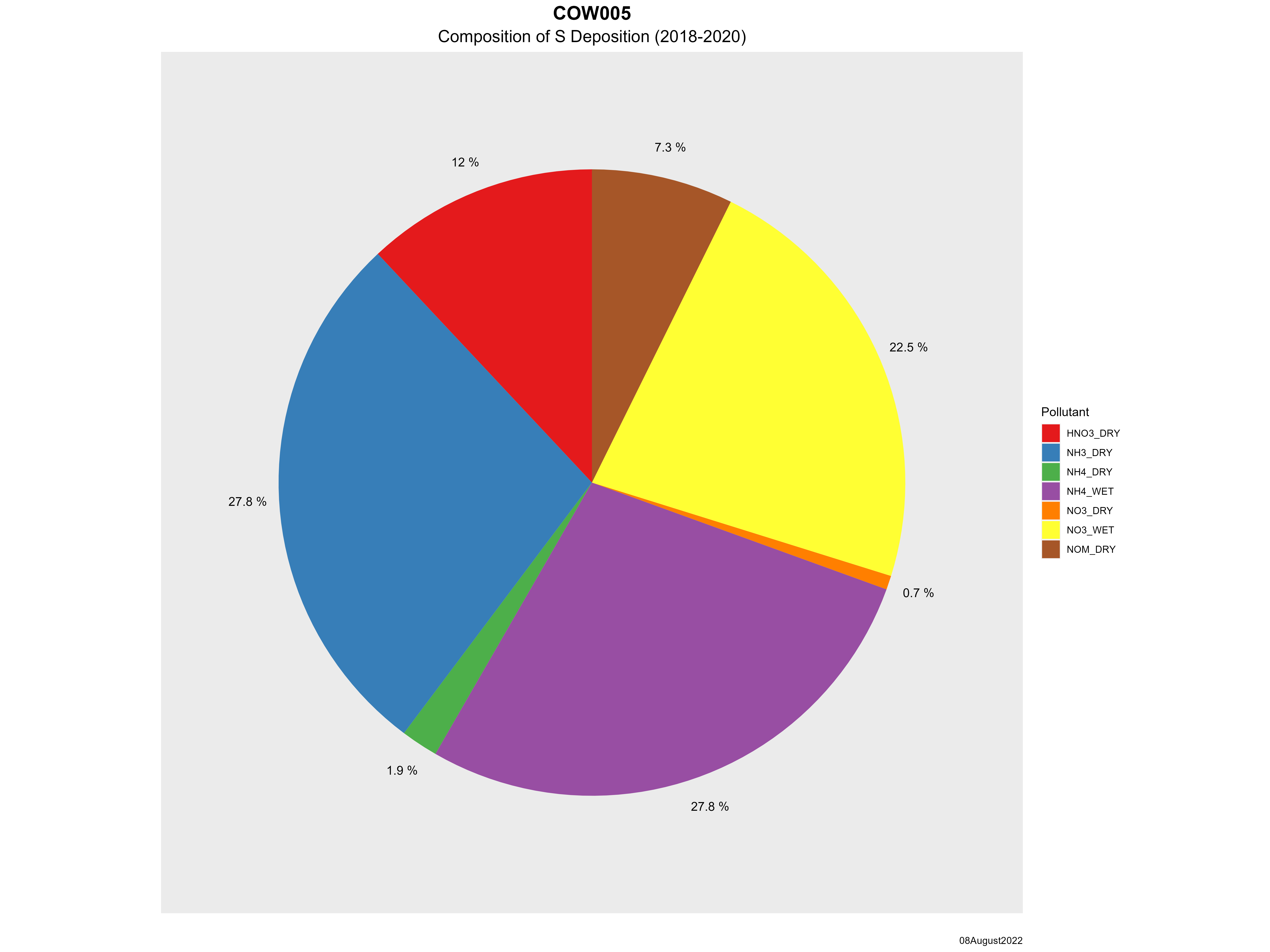
| Composition of total sulfur deposition by species |
 |
| Trends in total sulfur deposition |
 |
| Trends in wet and dry sulfur deposition |
 |
|