| Site Photos |
| Site photos not available |
| Site Information |
| Site ID |
CHA467 |
| Site name |
Chiricahua NM |
| County |
Cochise |
| State abbreviation |
AZ |
| AQS ID |
040038001 |
| Latitude; decimal degrees |
32.009405 |
| Longitude; decimal degrees |
-109.389058 |
| Elevation; m |
1570 |
| Operating agency |
NPS |
| Start date |
04/22/1989 |
| Primary Land Use |
Range |
| Terrain surrounding site |
Complex |
| NADP/NTN site ID |
AZ98 |
| Distance to nearest NTN site; km |
.036 |
| Co-located NADP/AMoN Site ID |
AZ98 |
| View Map |
View Map |
|
| Graphical Results |
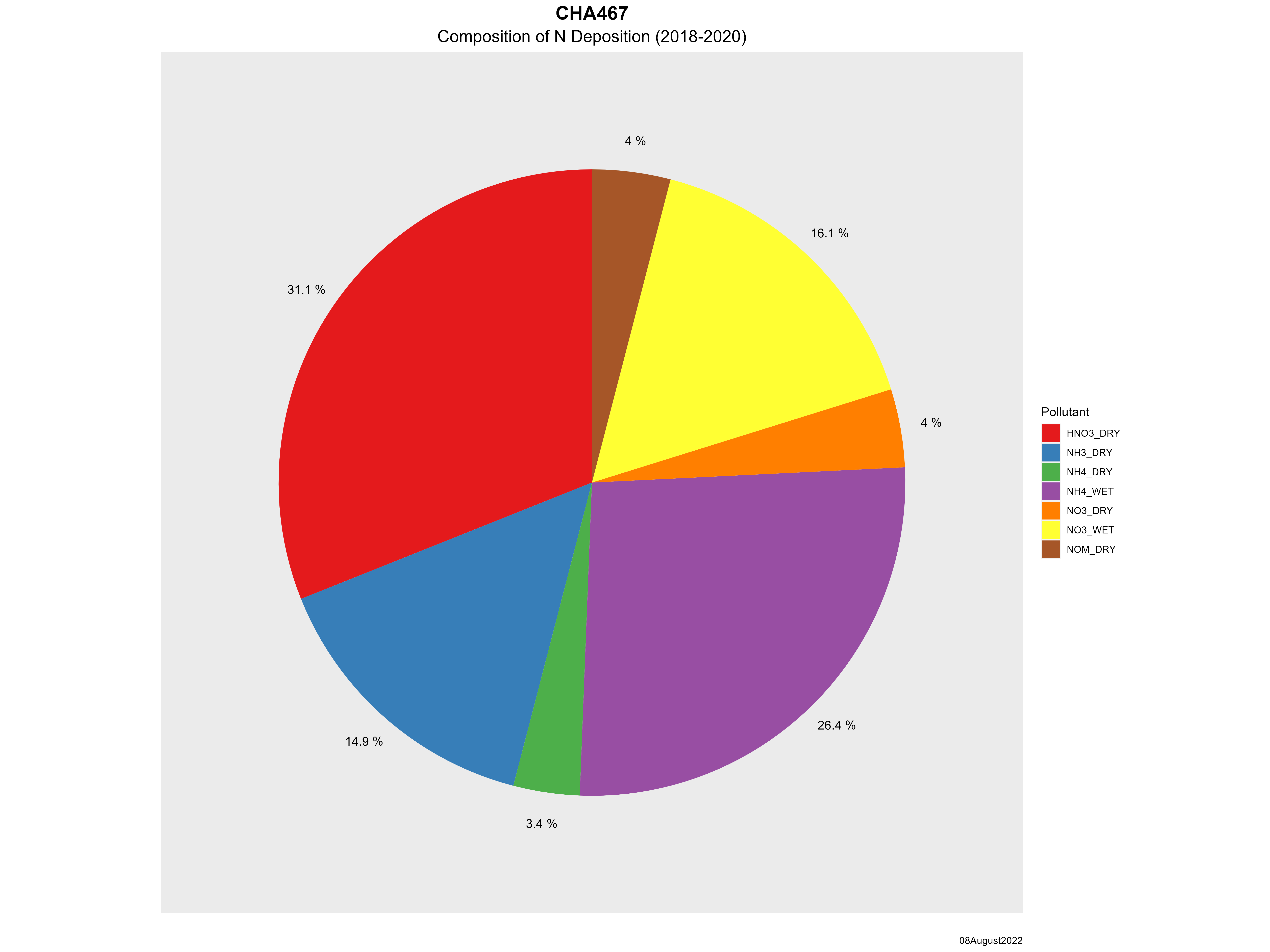
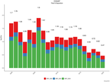
| Composition of total nitrogen deposition by species |
 |
| Trends in total nitrogen deposition |
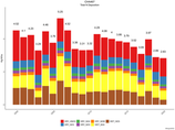 |
| Trends in wet and dry nitrogen deposition |
 |
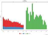
| Composition of total sulfur deposition by species |
 |
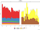
| Trends in total sulfur deposition |
 |
| Trends in wet and dry sulfur deposition |
 |
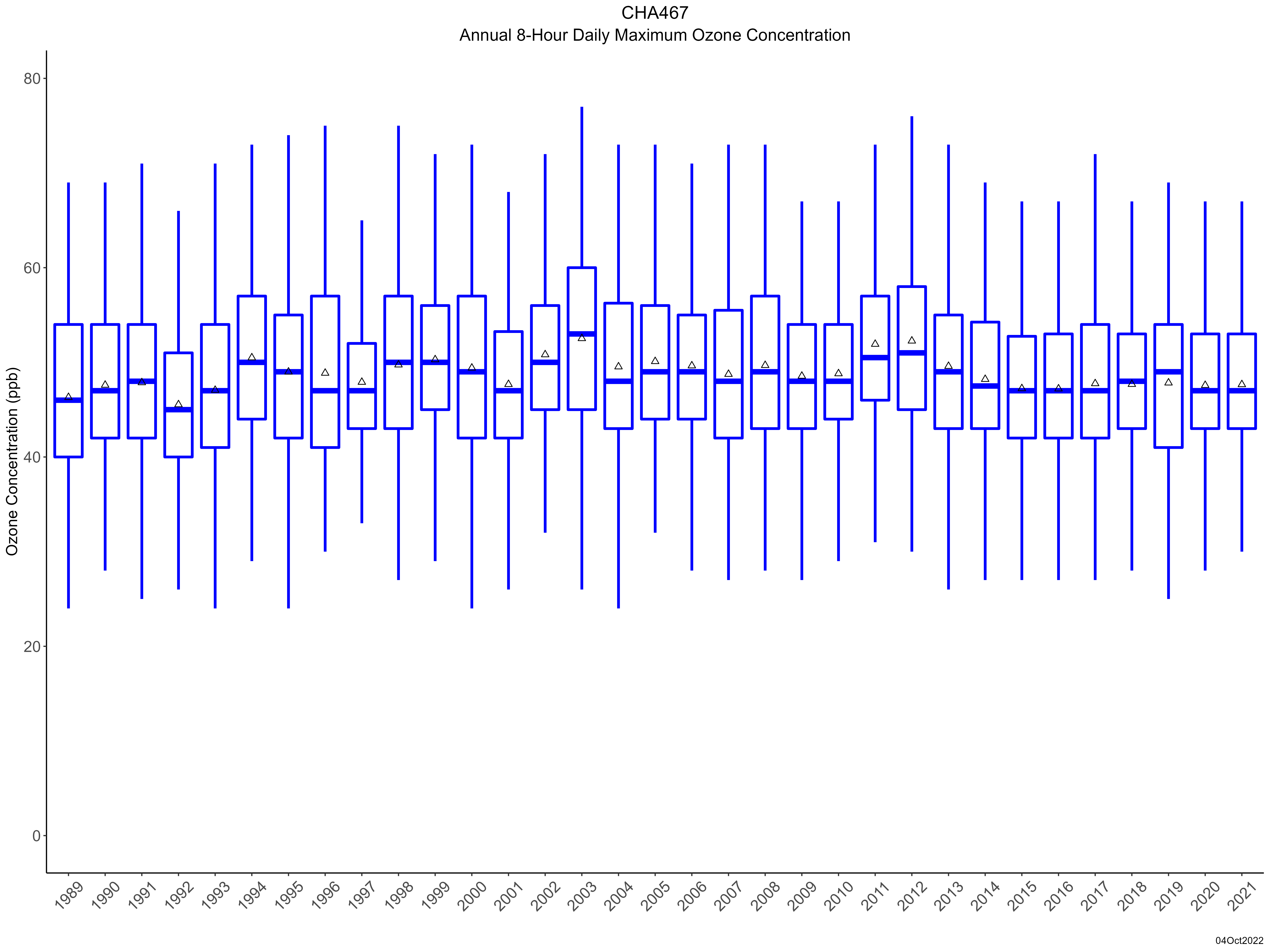
| Trend in maximum 8-hour average ozone concentrations |
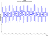 |
| Trend in 3-year average of ozone W126 index |
 |
|