| SHELTER_TEMPERATURE : A/C and Heat logger control installed. |
24-SEP-15 |
| OZONE : Air compressor with silica gel and charcoal canisters installed for ozone zero air |
25-AUG-15 |
| WIND_DIRECTION : Changed from Climatronics to RMY |
21-MAR-15 |
| TEMP : Changed from Climatronics to RMY |
21-MAR-15 |
| TEMP2 : Changed from Climatronics to RMY |
21-MAR-15 |
| WINDSPEED_SCALAR : Changed from Climatronics to RMY |
21-MAR-15 |
| SIGMA_THETA : Changed from Climatronics to RMY |
21-MAR-15 |
| WINDSPEED : Changed from Climatronics to RMY |
21-MAR-15 |
| RELATIVE_HUMIDITY : Changed from Climatronics to RMY |
21-MAR-15 |
| OZONE : New certification range for site transfer standard |
10-SEP-14 |
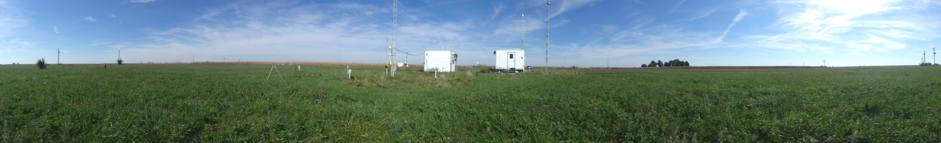
| TEMPERATURE : Collocated 9m temperature measurement with passive aspiration installed. |
08-SEP-14 |
| OZONE : Knockout bottle removed. |
22-MAR-14 |
| OZONE : ZSP order changed to SPZ. |
24-SEP-13 |
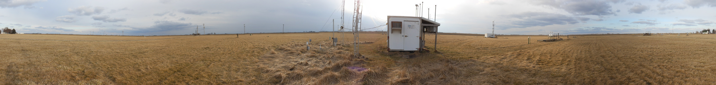
| SHELTER_TEMPERATURE : Measurement related equipment moved to new shelter. |
06-JUN-12 |
| TEMPERATURE : Measurement related equipment moved to new shelter. |
06-JUN-12 |
| OZONE : Measurement related equipment moved to new shelter. |
06-JUN-12 |
| FLOW_RATE : Measurement related equipment moved to new shelter. |
06-JUN-12 |
| OZONE : 10 ft. exhaust tubing added to both analyzers. |
04-MAR-12 |
| OZONE : Replacement pressure transducer installed in site analyzer. |
04-MAR-12 |
| TEMPERATURE : Collocated 9m temperature measurement with passive aspiration installed. |
06-SEP-11 |
| OZONE : Ozone sample line filter removed from inside the shelter. |
22-MAR-11 |
| OZONE : Ozone tubing changed from 3/8 inch to 1/4 inch. |
22-MAR-11 |
| OZONE : 40CFR Part 58 ozone site installed using independent site transfer standard. |
22-MAR-11 |
| DATALOGGER : CR3000 datalogger installed. Wiring standardized. |
08-MAR-09 |